 Beginner
Wreck · Reef · Wall · Drift
Airplane Wreck
Moalboal
Advanced Open Water Certification Required
Difficulty
Intermediate
Difficulty level
Access
Boat
Documented months
Visibility
Maximum visibilityInformation under review
Check the source context before using these values to plan a dive.
Contrary evidence
20
Read source context
The description in the accepted record states "Visibility at the site usually ranges between 5-20 meters". This directly contradicts the claim of a visibilityMax of 30 meters. Additionally, Neptune Diving Resort Moalboal also lists a visibility of 5-20m for the Airplane Wreck.
DiveNavigator · 2026-09-15T06:06:53.873Z
Typical visibility
Current
Variable
Good buoyancy control advised
Temperature
79°F86°F
Maximum water temperature
Reported by one source · Hale Manna Blog
Water temperature
Reported by one source · Neptune Diving Resort Moalboal
About This Dive Site
A plane-reef dive with uncertain wreck condition
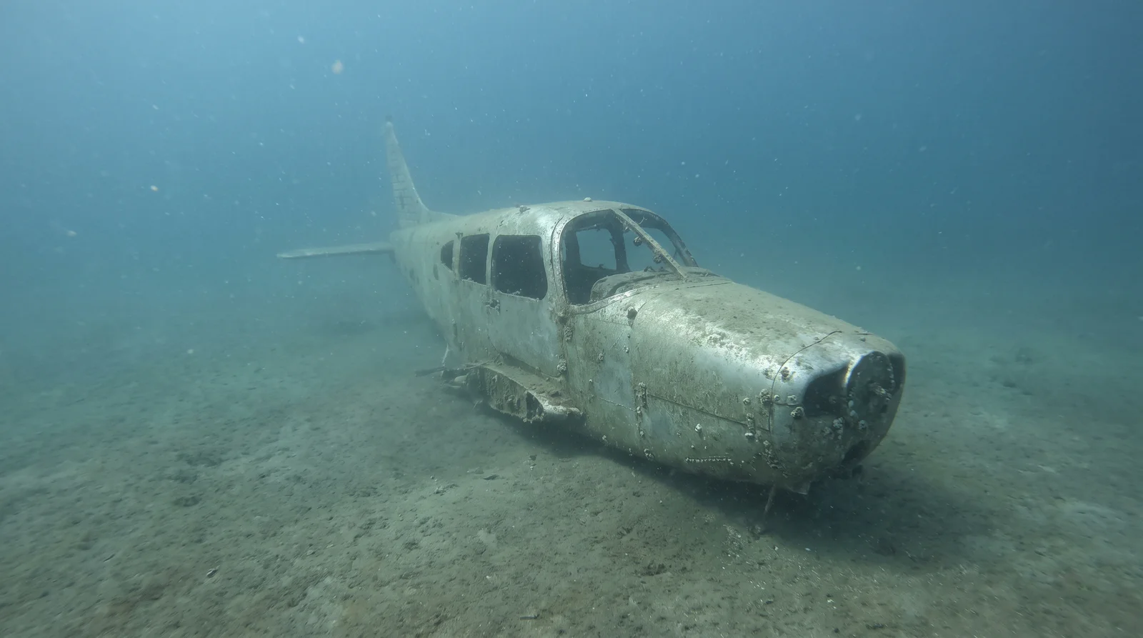
Airplane Wreck is a named artificial-reef dive off Moalboal, Cebu, where operator accounts place a small aircraft on a sandy slope near a wall. Pescador Diving Center describes a two-seat American aircraft donated by Lancair and placed by Savedra Dive Center in the 1990s. Neptune gives 1993 as the placement year. These accounts explain the site's name and history, but they do not establish what the aircraft looks like today.
What remains of the aircraft?
Published operator accounts differ. Neptune describes an intact fuselage with detached wings alongside it, a displaced tail fin and missing propeller blades. Emerald Green's English and Japanese site guides instead report that the plane fell during a typhoon and mention wings present at the site. Neither account gives an observation date or a dated inspection of the wreck. Its present configuration and the location of the fuselage are therefore unconfirmed. The older account should not be treated as a promise of an intact aircraft; ask the operator arranging the dive what remains visible on the planned route.
The surrounding slope and wall
Neptune describes a mooring-line descent to an approximately 18 m sandy slope, with table corals in shallower water, large sea fans, staghorn corals and sea whips farther along the reef. Its aircraft depth is about 20 m in the narrative and 22 m in the information table. Pescador also places the aircraft around 22 m and describes an adjacent drop-off reaching about 50 m. These are reported features and route depths, not a required dive profile or a current survey of the wreck's position.
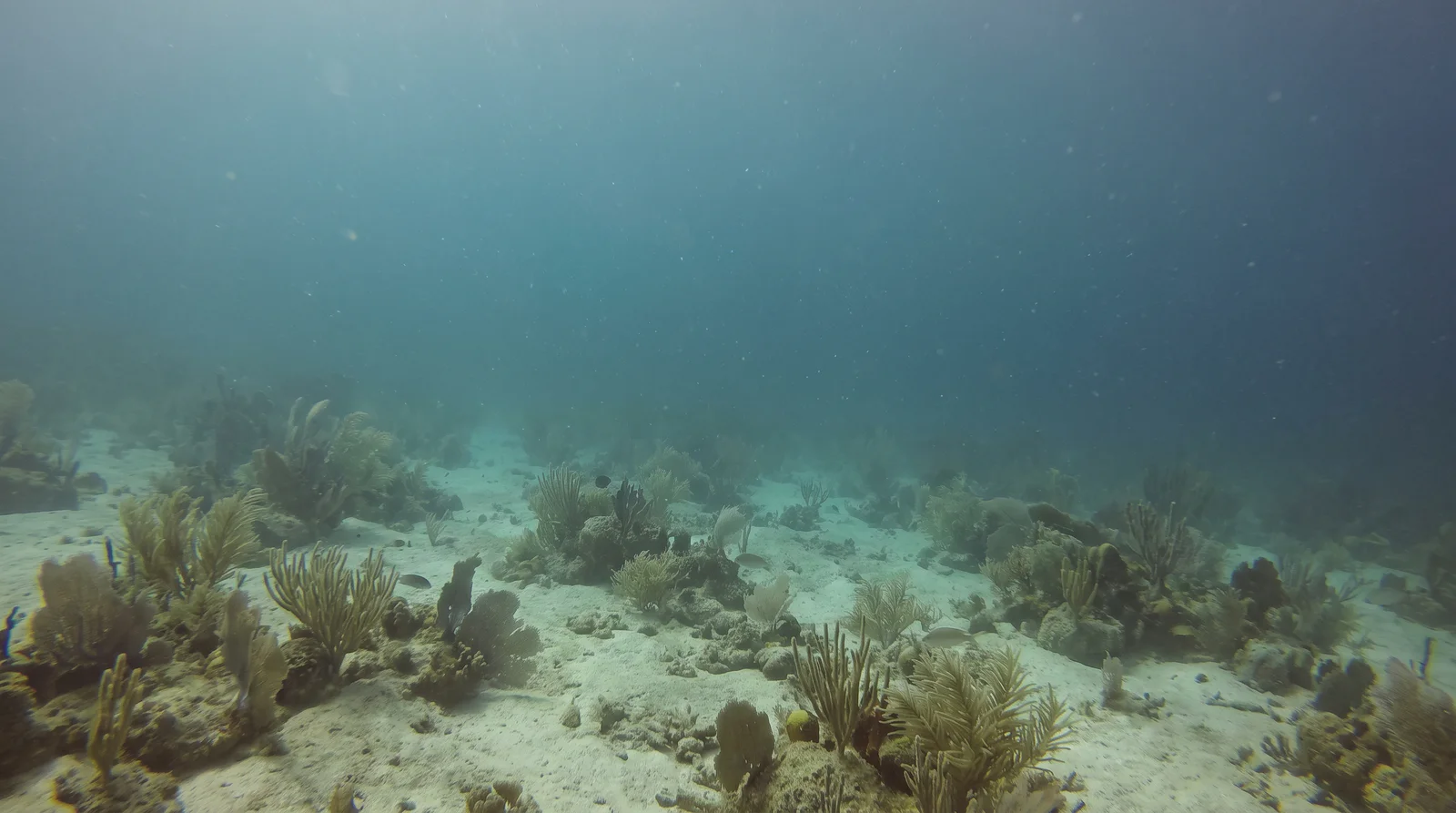
Pescador reports triggerfish, turtles, sweetlips, nudibranchs and devil scorpionfish among the site's soft and hard corals. Emerald Green mentions wrasse courtship without identifying the species. Those operator reports describe things divers may look for; they do not establish recent sightings or encounter frequency. The reef habitat remains part of the published site descriptions even where accounts of the aircraft differ.
Planning a visit
Neptune lists boat access from Panagsama Beach and labels the dive for Advanced Open Water experience. It reports 5–20 m visibility and currents of 1–3 knots; these are operator figures, not a forecast. The existing visibility evidence also contains a conflicting upper estimate. Confirm the day's route, current, visibility and appropriate experience with the dive operator. A reported wreck depth is not permission to enter the aircraft or explore the deeper wall.
Neptune’s information table estimates an 11-minute banca journey over 6 km from Panagsama Beach. This is a departure-specific operator estimate, not a current timetable or a transfer time from every Moalboal resort.
Advanced Open Water
Current Conditions
Typical current strength at this dive site
Variable
Current strength changes with tides and conditions. Check local conditions before diving.
Strength Scale
None
Mild
Moderate
Strong
Sources
- Cebu Fun Divers
- DiveNavigator
- Emerald Green Diving Center
- FreedomDIVE.com
- Hale Manna Blog
- Neptune Diving Resort Moalboal
- Pescador Diving Center
- Quo Vadis Dive Resort
360° Underwater View
Immersive panoramic view of this dive site
360° panorama coming soon
Immersive underwater views will be available when panoramic imagery is uploaded
Reviews
--
0 reviews
No reviews yet. Be the first to share your experience!
Related Dive Sites
Discover other dive sites in the area
Beginner
 Intermediate
 BeginnerBeginnerIntermediateBeginner
Depth Profile
Vertical range at this site
Minimum Depth
59 ft
Shallowest point
Average Depth
112 ft
Typical dive depth
Maximum Depth
164 ft
Deepest point
Stay Updated
Get dive site updates and tips in your inbox.
Dived Airplane Wreck? Make it count.
Add it to your logbook, share your sightings, and help 0 divers plan their next descent.
Recent Community Activity
Was this helpful?