 Advanced
Wreck · Channel · Ocean
Dona Marilyn Wreck
Malapascua
Access
Boat
Reported by one source · PADI
Documented months
Visibility
Maximum visibilityInformation under review
Check the source context before using these values to plan a dive.
One source says both things. It reports this value and also contradicts it.
Contrary evidence
Visibility range of 15-20 meters with seasonal decrease
Read source context
The given maximum visibility of 20 meters is at the very edge of the zone's verified maximum visibility range of 20m, meaning this value is not grounds for rejection. However, the cited source for this claim, Reddit, is not a reliable source for factual information about dive sites.
Reddit · 2026-09-16T05:43:37.957Z
Same source as the recorded value
Reddit
Read source context
The given maximum visibility of 20 meters is at the very edge of the zone's verified maximum visibility range of 20m, meaning this value is not grounds for rejection. However, the cited source for this claim, Reddit, is not a reliable source for factual information about dive sites.
Reddit · 2026-09-16T05:45:44.006Z
Same source as the recorded value
Typical visibility
Reported by one source · PADI
About This Dive Site
Doña Marilyn wreck: current condition unverified
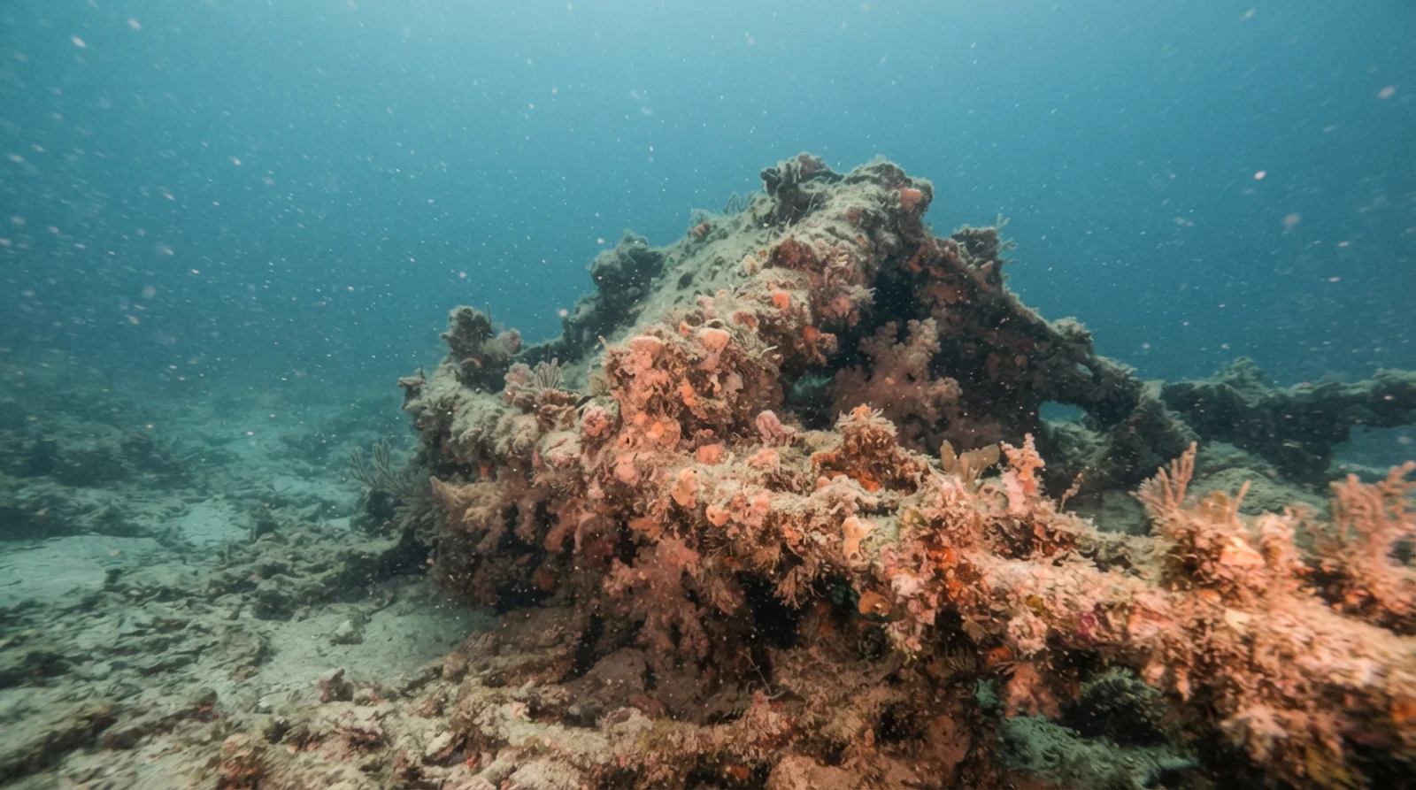
Doña Marilyn is a passenger-ferry wreck listed among excursions from Malapascua by Thresher Shark Divers. Its page describes an intact wreck and reports an 18–32 m range, but that description must not be assumed to establish present condition.
Dated salvage reporting
SunStar reported salvage activity at the wreck on 15 August 2018 and an investigation into the operation. This dated report is a reason to verify the remaining structure and current access before planning a dive; it does not establish today’s condition.
Before booking
Ask an operator for a recent site assessment and the proposed route. This partial guide does not verify penetration access, current hazards, a whole-site depth range or casualty figures. It does not present older intact-wreck descriptions as a current safety assessment.
Dated operator descriptions
Dive The World's Malapascua page, read on 8 October 2026, describes the Dona Marilyn as a 100m long wreck lying intact at a depth of between 18 and 33m on its starboard side, and says that depending on experience a diver can dive the outside only or penetrate at various points. Thresher Shark Divers' dive-site list shows a depth of 18-32 m, a travel time of 90 min and describes a wreck 100m long, lying on its starboard side, "still all in one piece", with lost fishing nets encrusted in coral draped over it. Evolution Diving Resort's post by Seb Ainsworth, dated 3 April 2017 and read in a Wayback Machine snapshot of February 2025, gives a length of 97.6m, says the ship sits at around 30m on its starboard side and is "surprisingly very intact", and mentions growth on the top of the wreck at around 18m. Lengths and depths differ between these accounts and are not reconciled here.
The ship's history as reported
The sources disagree on the ship's route. SunStar, in a report published on 15 August 2018, says the MV Dona Marilyn was a passenger ship of the defunct Sulpicio Lines that sank in 1988 while traveling from Manila to Tacloban during typhoon Unsang. Evolution's 2017 post says the ship was headed to Tacloban, was sunk by Typhoon Ruby (Unsang) on 23 October 1988, and calls it a Japanese built cargo and passenger vessel. Dive The World and Thresher Shark Divers instead call it a Cebu-Manila passenger ferry. Which description is correct is not decided here.
Marine life and conservation reporting
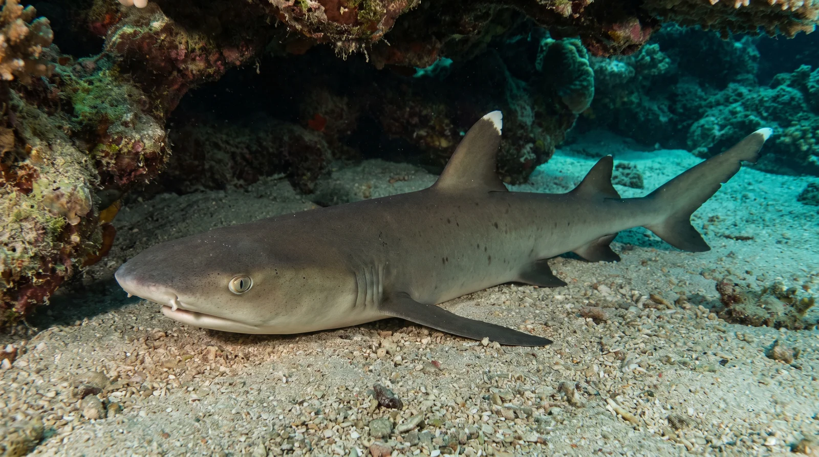
In the SunStar report, Gideon Esmero of DENR 7 is quoted describing the wreck as a successful artificial coral area with black corals, which he calls endangered, and as home to marble electric rays, blue spotted rays, bow and eagle rays, devil rays and white tip sharks. Anna Oposa of Save Philippine Seas told SunStar that "the wreck has become an artificial reef and attracted marine life", and the report calls the wreck one of four that divers visit in Malapascua. Dive The World lists big sweetlips, cuttlefish, a giant moray, many fire urchins, nudibranchs, scorpionfish, batfish and thousands of glassfish in the more sheltered recesses. Thresher Shark Divers lists marble rays, blue-spotted rays and whitetip sharks under the bow. Evolution mentions scorpion fish, nudibranchs and occasionally rays. These lists come from different years and are not sighting promises.
Training level, salvage history and what to verify
Evolution's 2017 post calls the dive suitable for divers on a PADI Advanced Open Water course or holding that certification, and says the wreck is "fully penetrable". That is a 2017 statement and is not adopted here as a current access assessment. SunStar adds that in 2004 a metal company attempted to remove the wreckage but was stopped after the Philippine Tourism Authority ordered it not to, and that the Daanbantayan mayor condemned the 2018 salvage. Current structure, depth and any penetration route should be confirmed with a local operator.
Not yet independently cross-checked. · Dive The World · Evolution Diving Resort (Wayback snapshot) · SunStar · Thresher Shark Divers
Marine Life
1 species recorded at this site
Hazards & Safety
Be aware of these potential hazards at this dive site
Strong current
Severity: MediumStrong currents are common due to the wreck's mid-channel position.
Depth
Severity: MediumThe dive reaches depths of up to 35m, requiring advanced certification.
Sources
- Dive The World
- Evolution Diving Resort
- Evolution Diving Resort (Wayback snapshot)
- PADI
- SunStar
- Thresher Shark Divers
360° Underwater View
Immersive panoramic view of this dive site
360° panorama coming soon
Immersive underwater views will be available when panoramic imagery is uploaded
Reviews
--
0 reviews
No reviews yet. Be the first to share your experience!
Related Dive Sites
Discover other dive sites in the area
Advanced Intermediate
 Advanced
 Beginner
 BeginnerAdvancedIntermediateAdvancedBeginnerBeginner
Depth Profile
Stay Updated
Get dive site updates and tips in your inbox.
Dived Dona Marilyn Wreck? Make it count.
Add it to your logbook, share your sightings, and help 0 divers plan their next descent.
Recent Community Activity
Was this helpful?
Related dive articles.
Malapascua Diving Guide: Beyond the Thresher Sharks
Malapascua diving guide: best season, beginner suitability, dive sites beyond Monad Shoal, how to get there, and how it compares to Moalboal.
Sep 30, 2026
Thresher Shark Diving in Malapascua: Monad Shoal at Dawn
Thresher shark diving at Monad Shoal, Malapascua: wake-up time, depth, certification needed, best season, and how reliable sightings really are.
Aug 18, 2026