 Intermediate
Reef · Slope
Layag-Layag
Anilao
Access
Boat
Reported by one source · TE MOANA EXPEDITIONS
Documented months
About This Dive Site
Layag-Layag: reef habitat and differently described routes
Layag-Layag is a named reef in the Mabini–Tingloy diving area. The Coastal Conservation and Education Foundation's March 2011 field report describes a study area encompassing the northern tip of Caban Island and Kirby Rock to the east. That survey footprint is broader than a single booked dive route; it does not establish this record's exact boundaries or coordinates.
Operator names are not interchangeable
Aqua-Venture's undated site table lists Layag-Layag separately from Layag-Layag Bahura. Its Layag-Layag row describes coral reef and wall terrain, a 30-metre depth figure and moderate current. The Bahura entry separately mentions a cavern and moderate-to-strong current. The cavern description is not transferred to this record. These are operator classifications rather than a measured whole-site profile or a check of conditions for your visit.
What the historical monitoring found
CCEF's 2011 survey reported different live hard-coral cover in its shallow and deeper sampling areas: about 56 percent at 2–3 metres and 34 percent at 7–8 metres. It described a partial recovery in shallow coral cover after a decline between 2001 and 2005, while fish density and diversity had declined in the 2011 observations. These results describe historical transects and their sampling dates, not the condition of the entire reef today or how many fish a visitor can expect to see.
The same report observed physical damage from anchors and recommended mooring buoys, particularly for deeper areas. It also discussed a proposed marine park dating to 1982 that had not been acted on at the time of the report. Those observations explain the site's conservation history; they do not confirm current buoy availability, protected-area status, access permission or present-day restrictions.
A dated dive log shows why conditions matter
In a log of a 30 December 2019 dive, the writer describes little current over a sloping sandy plain and reports garden eels. The same entry recalls a 1990 checkout dive at Layag-Layag during which strong current swept the writer away and another boat's divers assisted. These are contrasting personal accounts, not a tide prediction or a fixed current rating. The log's 75-foot maximum, approximately 23 metres, belongs to that particular dive. A TE MOANA comment dated 16 April 2019 explicitly describes a 30-metre maximum, while the same page's September 2017 dive log records 23 metres. These are distinct source statements, not an independently surveyed boundary.
Planning with the source limits in view
Establish which named section the operator intends to visit and how its current conditions affect the proposed dive. The reviewed sources do not establish a dependable wildlife calendar, a universal beginner classification, a site-specific water-temperature range or an independently surveyed complete depth range. Dated observations and historical habitat surveys remain useful context without becoming promises about today's reef.
Current Conditions
Typical current strength at this dive site
Variable
Current strength changes with tides and conditions. Check local conditions before diving.
Strength Scale
None
Mild
Moderate
Strong
Reported by one source · Paulo Ordoveza
Hazards & Safety
Be aware of these potential hazards at this dive site
Current
Severity: MediumCurrents can shift from gentle to strong; plan dives accordingly and use appropriate current-diving practices.
Dangerous marine life
Severity: MediumReef sharks and sea snakes may be present, so maintain respectful distance and avoid disturbing wildlife.
Sources
- Aqua-Venture
- Coastal Conservation and Education Foundation
- Paulo Ordoveza
- TE MOANA EXPEDITIONS
360° Underwater View
Immersive panoramic view of this dive site
360° panorama coming soon
Immersive underwater views will be available when panoramic imagery is uploaded
Reviews
--
0 reviews
No reviews yet. Be the first to share your experience!
Related Dive Sites
Discover other dive sites in the area
Intermediate Intermediate
 Beginner
 Intermediate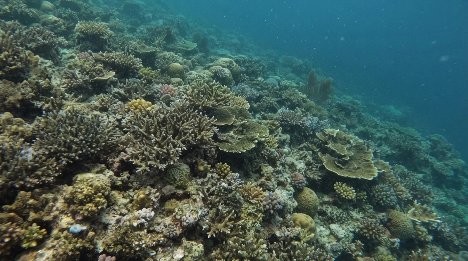
 BeginnerIntermediateIntermediateBeginnerIntermediateBeginner
Depth Profile
98 ft
Reported by one source · TE MOANA EXPEDITIONS
Stay Updated
Get dive site updates and tips in your inbox.
Dived Layag-Layag? Make it count.
Add it to your logbook, share your sightings, and help 0 divers plan their next descent.
Recent Community Activity
Was this helpful?
Related dive articles.
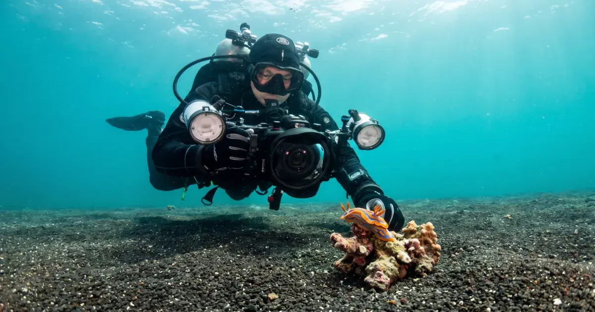
Anilao Diving Guide: The Philippines' Muck and Macro Capital
Anilao diving guide: muck diving basics, best resorts for macro photography, weekend-trip logistics from Manila, and how it compares to Lembeh Strait.
Sep 11, 2026
Best Diving in Luzon: Anilao, Subic Bay, and Beyond
Luzon diving guide: Anilao muck diving, Subic Bay wrecks, Donsol whale sharks, best season, and how it compares to Visayas and Palawan.
Sep 8, 2026