 Advanced
Drop-off · Wall · Pinnacle · Drift
Fish Bowl
Puerto Galera
About This Dive Site
Reef terrain near Escarceo
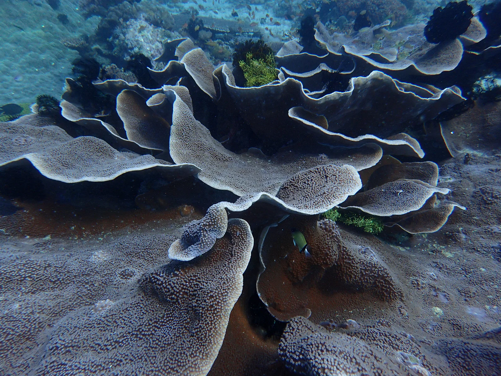
Capt’n Gregg’s chart describes Fish Bowl as a rocky reef top with whip and soft corals, descending toward a sandy bottom near Escarceo. The operator classifies it as an advanced dive and describes variable conditions that can include strong current.
The chart gives a 24–40 m profile. This is an operator’s description of diving terrain, not a recommended depth or a surveyed boundary. The planned route and depth need to be agreed with the dive team for the particular outing.
Before choosing this dive
Ask whether the proposed route stays on the reef top or visits deeper terrain, how conditions affect the plan, and where entry and pickup will take place. Confirm the required experience with the operator rather than relying on the site name or a depth figure alone.
Source and conditions
This terrain summary comes from one operator. Current visibility, water temperature, wildlife encounters and seasonal reliability have not been independently established. The source’s stylised map is not a navigation chart and supplies no verified entry coordinates for this guide.
Different sources describe different depth scopes
Angelyn’s Fish Bowl account describes a stadium-shaped rocky reef top, reached by a blue-water descent to about 35–40 metres, with a sandy bottom deeper down. It names long whip corals and soft tree corals on the upper formation and describes continuing shallower towards the Canyons. The operator warns that current can make it difficult to remain at the bowl. This is a specific deep-route description, not evidence that every dive sold under the Fish Bowl name follows that profile.
The Fish Bowl directory entry on PADI Travel illustrates why the name alone is insufficient for planning. Its prose describes terrain reaching 48 metres while saying its recreational outing stays at a maximum of 20 metres. The same page’s structured maximum-depth field displays 36 metres. Those three figures cannot be treated as one agreed site maximum: one describes deeper terrain, one a stated itinerary limit, and the structured field conflicts with the prose without explanation.
The directory also distinguishes whip and soft corals in shallower areas from rocky formations, black whip corals and sea fans deeper down. Its reported fish include sweetlips, rainbow runners, tuna and jacks; these remain attributed reports rather than sighting forecasts. The page identifies its content as supplied by third parties and does not name a contributor in the reviewed section. It therefore provides no basis for claiming an independent PADI survey. Ask the operator which terrain and depth their proposed Fish Bowl trip actually covers.
Not yet independently cross-checked. · Angelyn’s Dive Resort · Capt’n Gregg’s · PADI Travel third-party directory; contributor unnamed in reviewed section
Difficulty
Difficulty
Historical value — unverified
Earlier listing classification: technical; the intended route and current suitability remain unverified.
Confirm this historical information with a local operator.
Know this? Tell usDifficulty level
Depth
Minimum depth
Historical value — unverified
Earlier listing: 30 m; not verified for this route.
Confirm this historical information with a local operator.
Know this? Tell usMaximum depth
Historical value — unverified
Earlier listing: 60 m; not verified for this route.
Confirm this historical information with a local operator.
Know this? Tell usDepth range
Access
Documented months
Visibility
Minimum visibility
Historical value — unverified
Earlier listing: 20 m; not verified for this route.
Confirm this historical information with a local operator.
Know this? Tell usMaximum visibility
Historical value — unverified
Earlier listing: 30 m; not verified for this route.
Confirm this historical information with a local operator.
Know this? Tell usTypical visibility
Temperature
Minimum water temperature
Historical value — unverified
Earlier listing: 26 °C; not verified for this route.
Confirm this historical information with a local operator.
Know this? Tell usMaximum water temperature
Historical value — unverified
Earlier listing: 29 °C; not verified for this route.
Confirm this historical information with a local operator.
Know this? Tell usWater temperature
Certification required
Historical value — unverified
Earlier listing stated a certification prerequisite; current operator requirements are unverified.
Confirm this historical information with a local operator.
Know this? Tell usMarine Life
5 species recorded at this site
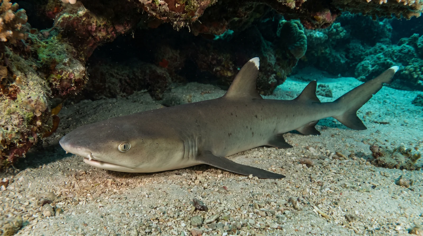
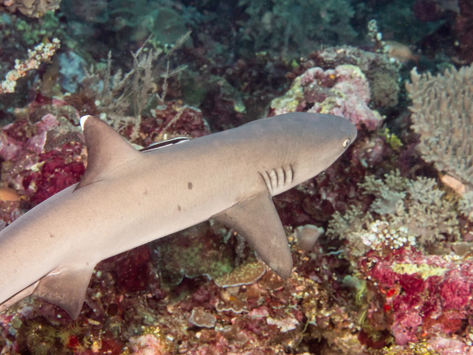
Whitetip Reef Shark
Triaenodon obesus
Site occurrence not yet documented
No dated observations available.
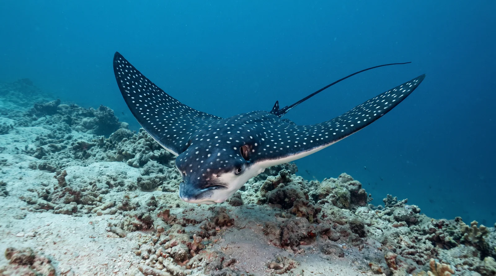
Spotted Eagle Ray
Aetobatus narinari
Site occurrence not yet documented
No dated observations available.
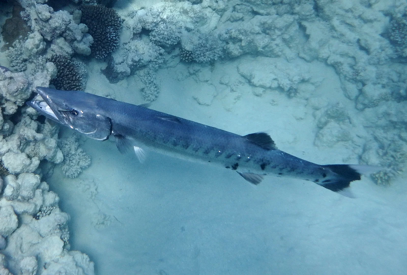
Great Barracuda
Sphyraena barracuda
Site occurrence not yet documented
No dated observations available.
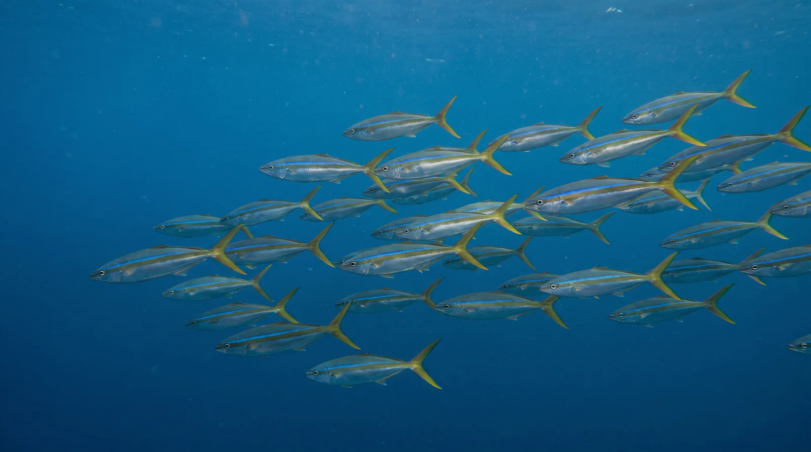
Rainbow Runner
Elagatis bipinnulata
Site occurrence not yet documented
No dated observations available.
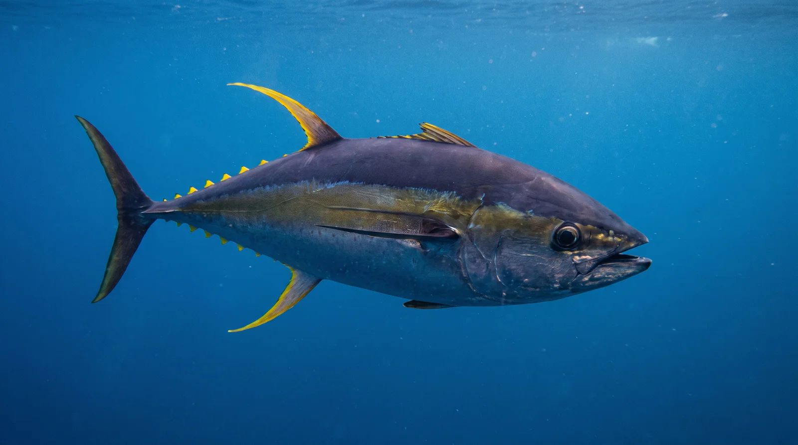
Yellowfin Tuna
Thunnus albacares
Site occurrence not yet documented
No dated observations available.
Hazards & Safety
Be aware of these potential hazards at this dive site
Decompression obligation
Severity: Not yet documentedEarlier listing reports decompression obligation. The specific condition and severity have not been corroborated in this source review; confirm the current briefing with the operator.
Depth
Severity: Not yet documentedEarlier listing reports depth. The specific condition and severity have not been corroborated in this source review; confirm the current briefing with the operator.
Strong current
Severity: Not yet documentedEarlier listing reports strong current. The specific condition and severity have not been corroborated in this source review; confirm the current briefing with the operator.
Sources
- Angelyn’s Dive Resort
- Capt’n Gregg’s
- PADI Travel third-party directory; contributor unnamed in reviewed section
360° Underwater View
Immersive panoramic view of this dive site
360° panorama coming soon
Immersive underwater views will be available when panoramic imagery is uploaded
Reviews
--
0 reviews
No reviews yet. Be the first to share your experience!
Related Dive Sites
Discover other dive sites in the area
Advanced Advanced
 Advanced
 Intermediate
 AdvancedBeginnerAdvancedAdvancedAdvancedIntermediateAdvancedBeginner
Depth Profile
Minimum Depth
Historical value — unverified
Earlier listing: 30 m; not verified for this route.
Confirm this historical information with a local operator.
Know this dive site? Suggest a correctionMaximum Depth
Historical value — unverified
Earlier listing: 60 m; not verified for this route.
Confirm this historical information with a local operator.
Know this dive site? Suggest a correctionStay Updated
Get dive site updates and tips in your inbox.
Dived Fish Bowl? Make it count.
Add it to your logbook, share your sightings, and help 0 divers plan their next descent.
Recent Community Activity
Was this helpful?